Experience
A World of Adventure.
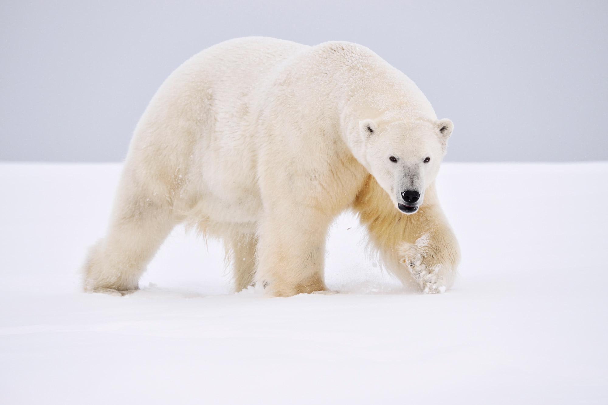
Knowledge and experience intersect with Alaska’s unique raw wildness to provide you unparalleled adventure.
Impeccable safety protocols combine with proficient trip planning and fluid itineraries to ensure your trip experience is the one you’re looking for.
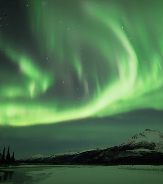
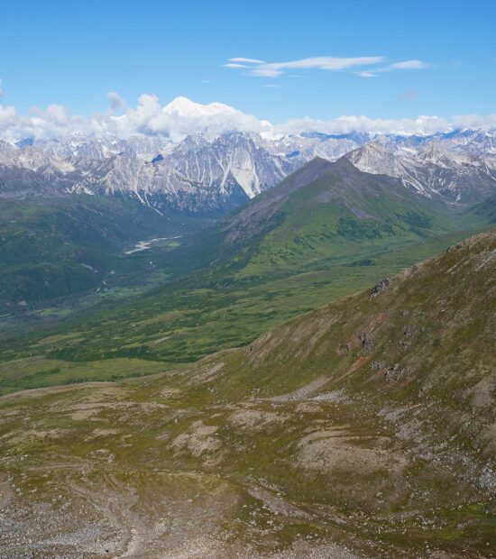
Alaska
It’s What We Do.
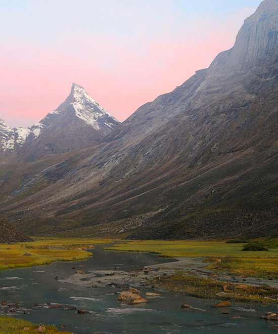
Visit wild Alaska. Travel some of Alaska’s most spectacular regions.
Choose Your Location.
Adventure
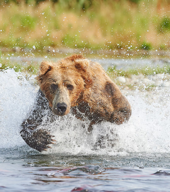
What Do You Want To Do?
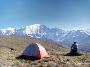
Backpacking trips and photo tours are our specialty. We also raft. And packraft. And Sea Kayak. We love to hike, camp, ski and snowshoe. Sound like fun?
Diversity of adventure and exceptional experience are what brings folks back again and again. And again.
What The People Say
2022
Our family had an incredible adventure with Expeditions Alaska
Pre-trip planning was great, all the bases were covered, & the trip itself was the beyond what I had imagined. Our guide was Christie and she made this trip absolutely amazing. Whatever magic Christie and Carl used to rearrange plans in order to accommodate us was appreciated.
2015
Carl did a phenomenal job of leading us.
He clearly knew what he was doing Well organized, has excellent equipment, including emergency supplies and is generally good company (especially when he is talking about obscure guitarists). Highly recommend. When I go backpacking in Alaska again, it will be with Carl.
2016 - 2022
It couldn't have been a better experience!
Carl was fantastic; he was informative and worked hard to get us in the best position and the best light to photograph these incredible animals. Carl is extremely knowledgeable. This trip exceeded my expectations and was a trip I will never forget. I highly recommend this to anyone.